Climate


Kidapawan’s climate falls under the fourth type characterized by an even distribution of rainfall year round. Dry season stretches from November to May with February as the driest month, and July and August as the wettest months. Rainfall ranges from 2.71 inches during summer and as high as 12.09 inches in July.
Average annual rainfall is pegged at 7.07 inches. The city is located outside the typhoon belt, and is protected by its surrounding mountain ranges. The climate is conducive to planting cereals, vegetables, fruits, trees, root crops and legumes. Prevailing wind comes from the southeast direction.
Kidapawan being at a higher elevation enjoys a moderate temperature that registers at 27.5 degrees Celsius. Mt. Apo, its highest area, is the coldest part. The coldest months are January, July and December while the warmest are on April and May. Studies show that 22,995 hectares of Kidapawan’s landscapes are within the cool uplands with temperature ranging from 2.25 degrees Celsius to 25 degrees Celsius. Another 2,653 hectares (8%) are volcanic plains and residual terraces with deep to very deep soils and temperatures ranging from 25 degrees Celsius or more. These are located in the warm lowlands of Katipunan, Sikitan, Gayola, San Isidro, and San Roque.
Slope Classification
Table No. 1.2 SLOPE CLASSIFICATION, CITY OF KIDAPAWAN
| BARANGAY | LAND AREA IN HECTARES | STEEP | MOD. STEEP | ROLLING | MOD. PLAIN | FOREST LAND |
|---|---|---|---|---|---|---|
| AMAS | 2,075.60 | 91 | 151 | 1,207 | 628 | 625 |
| AMAZION | 1,180 | |||||
| BALABAG | 815.2 | 446 | 203 | 167 | — | 770 |
| BALINDOG | 598.8 | — | — | — | 599 | — |
| BINOLIGAN | 1,121.2 | — | — | 224 | 897 | — |
| BIRADA | 643.6 | — | — | 606 | 38 | — |
| GAYOLA | 605.6 | — | — | 36 | 570 | — |
| GINATILAN | 538 | — | 22 | 516 | — | — |
| ILOMAVIS | 2,724.4 | 1,760 | 293 | 671 | — | 2,524.40 |
| INDANGAN | 384 | — | 4 | 380 | — | — |
| JUNCTION | 1,472 | 55 | 33 | — | 1,384 | — |
| KALAISA | 801.2 | — | — | 2 | 799 | — |
| KALASUYAN | 561.2 | — | — | — | 561 | — |
| KATIPUNAN | 748.8 | — | 22 | — | 727 | — |
| LANAO | 758 | — | — | — | 758 | — |
Soil
The largest areas of land are classified as sandy-clay loam, covering 48.13% of the total land area, or 16,330 hectares-typical for intensive agriculture. Other soil types include clay loam at 12,335.50 hectares (36.36%) mostly in areas suitable for urban development, and mountain soils which cover 5,360.40 hectares (15.8%) that is best suited for forest/reforestation, parks, and wildlife. The highest water holding capacity parts are in areas classified under mountain soils. The other two soil types have low water holding capacity. About 82.2% of these soil types are suited for agricultural crops while the rest are best suited for reforestation, pasture, parks and wildlife.
Soil Capability and Suitability
The Singao-Lanao-Balindog cluster has been identified as “Urban/Urbanizing Section”. This covers the portion from Uper Singao in the west, towards the northeast, which ends in Balindog and the south towards Nuangan. This are traversed in the middle by the national highway linking the cities of Davao and Cotabato. Two waterways traverse the center towards the irrigated paddies in the south.
The urbanization of this area is attributed to the concentration of various economic and social activities, which attract people to cluster and settle in the area.
Geology
Records from the Bureau of Mines indicate that there are potential areas in Kidapawan City that are rich in mineral deposits, but there has been no geological survey conducted determining such presence at commercial value to date.
Hydro-Geology
The City is blessed with abundant fresh water, both ground and surface. Mt. Apo serves as the recharge point, and the areas at the foot of the mountain contain three large reservoirs – the biggest of which are in Baranggays Balabag and Perez flowing through the lower slopes in Bongolanon, Magpet. These springs are now tapped to households for domestic use.
The major rivers that run through the area are the main source of water in the rural baranggays, supplying the domestic, industrial and agricultural water requirements of people. The rapid growth in the city’s population has likewise created an increase in the demand for potable water. Metro Kidapawan Water District (MKWD) has still untapped water resources sufficient to meet the said demand even in the next five decades.
Erosion Potential and Flooding hazard
All land are suitable for cultivation. However, application of sound conservation and soil management practices are required in about 720 hectares of depressed portions for occasional o0verflow. These are the lands along the banks of Marbol River, particularly in San Roque.
About 3,382 hectares of Barangays Ilomavis and balabag are susceptible to erosion. However, these may be cultivated safely by applying erosion control measures. Careful land management and intensive conservation practices should also be strictly conserved.
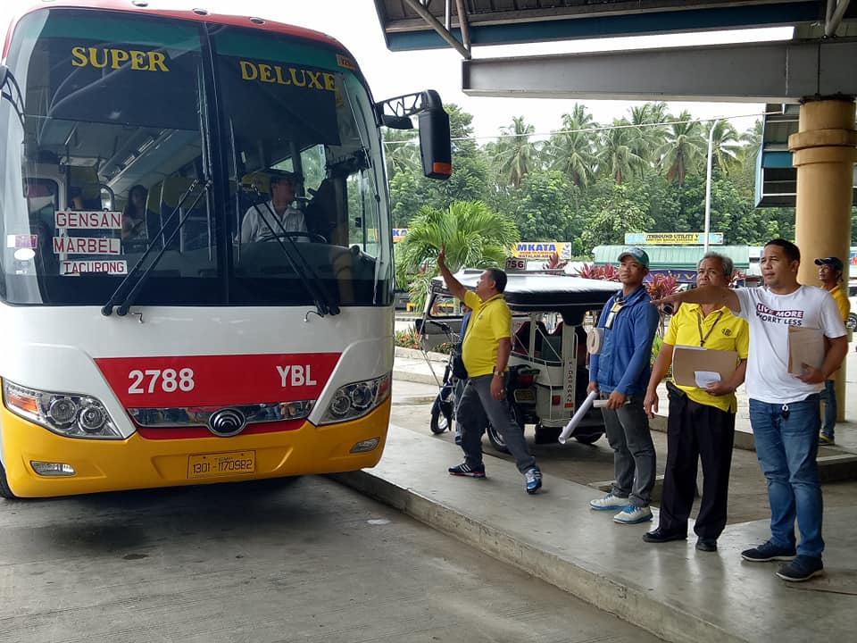
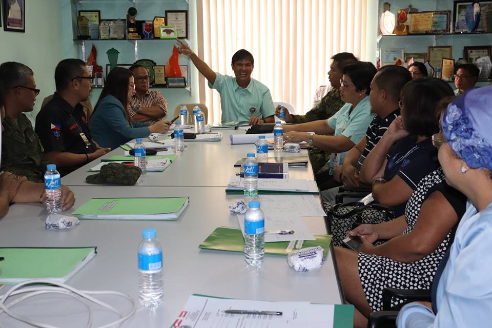
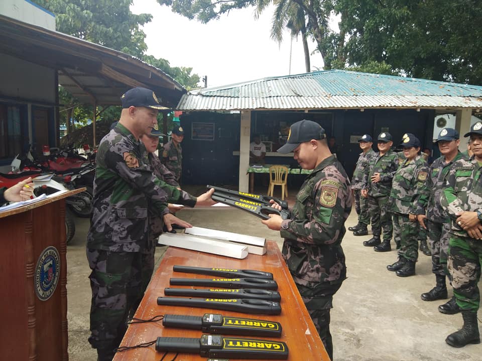
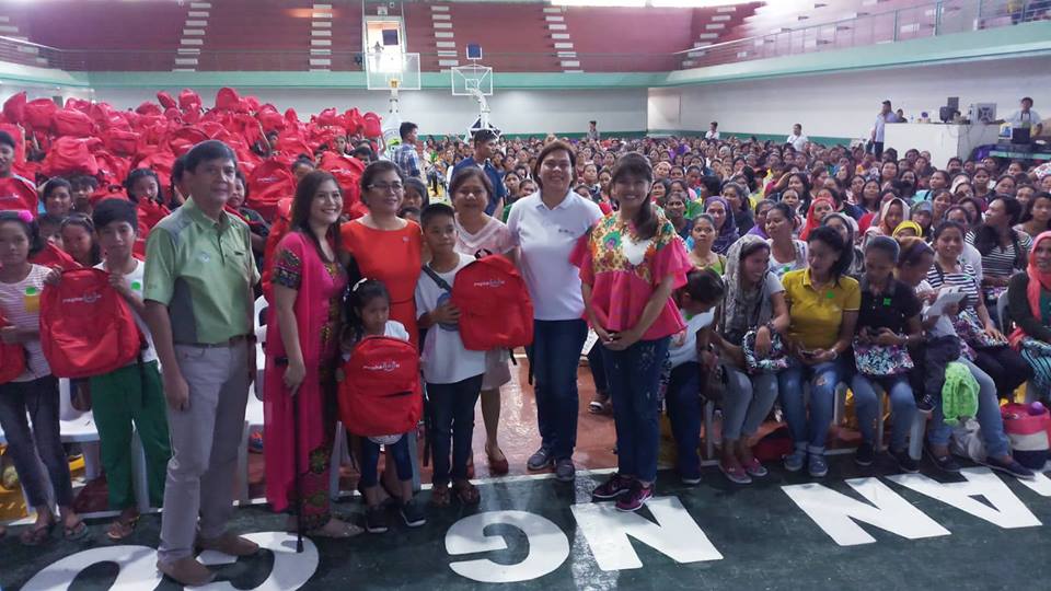
PHOTOS AND VIDEOS SEE MORE PHOTOS | SEE MORE VIDEOS